
The Roan Highlands
8th May
25.1 miles
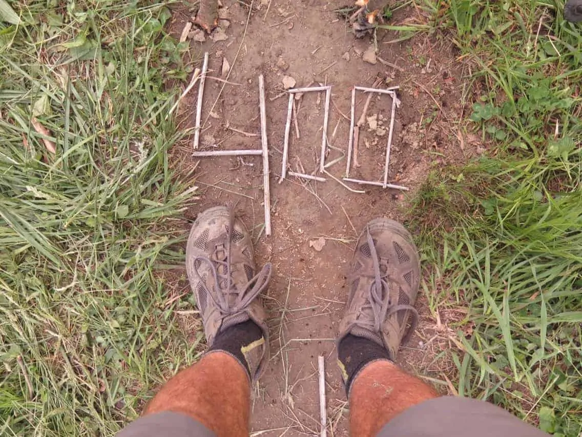
Ash Gap (375.5) to Bushcamp (400.7)
I thought yesterday was the best day on trail to date, today was better. I’d heard good things about the Roan Highlands but hearing about a place and experiencing it for myself are different.
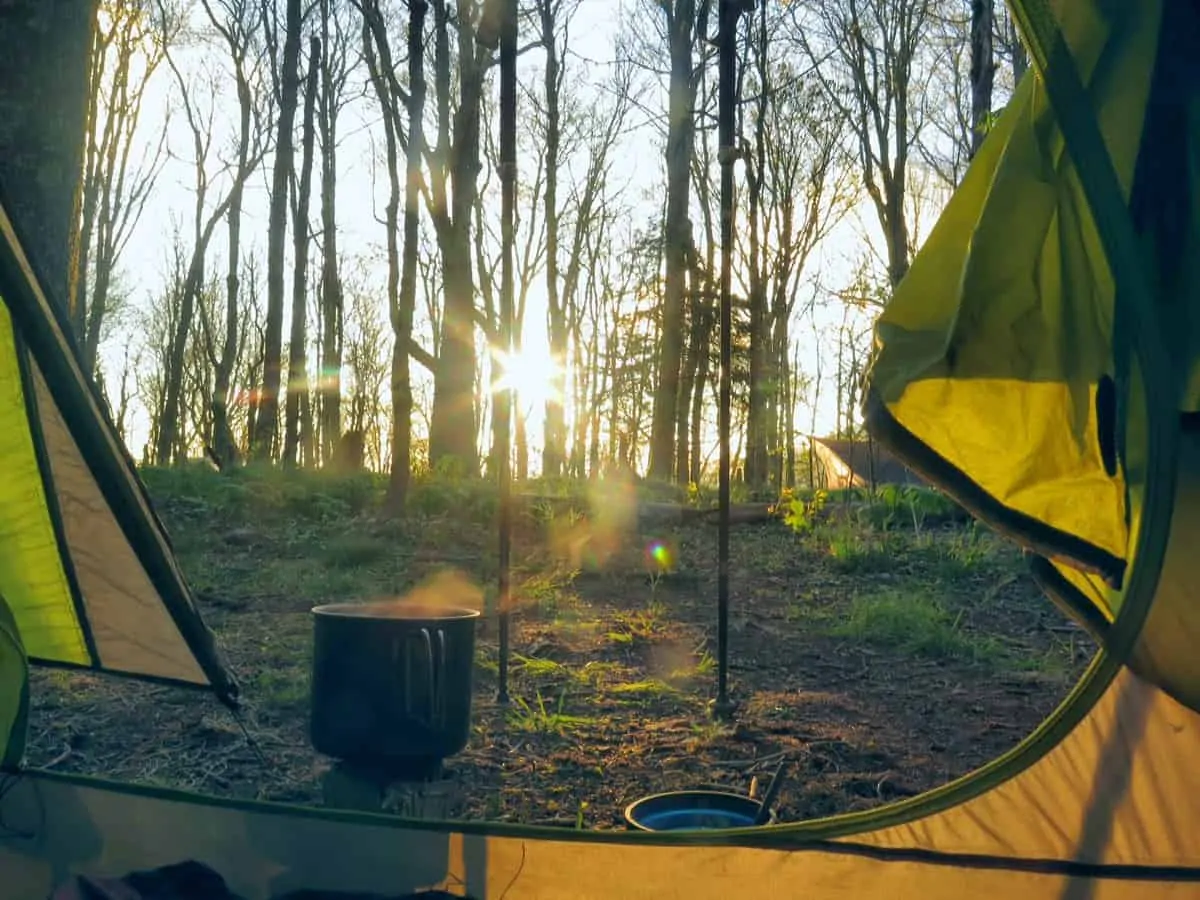
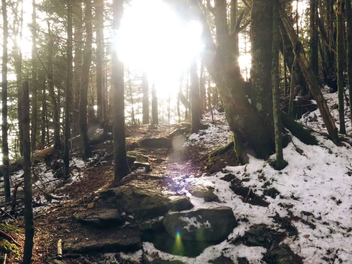
The morning was cold. Below freezing again. I was wearing all my clothes as I started hiking up to around 6000 feet. I passed the highest Hut on the AT, Roan High Shelter at 6249 feet. Snow was still on the ground from the previous storm and the wind was blasting through the trees at high altitude.
At Carvers Gap there was some trail magic in the form of drinks, sandwiches and snacks. Yard Dart was the name of the Trail Angel. Several hikers came and went as I stayed chatting with him. He’s also a hiker and cross country cycle tourer, so we had a few things to chat about.
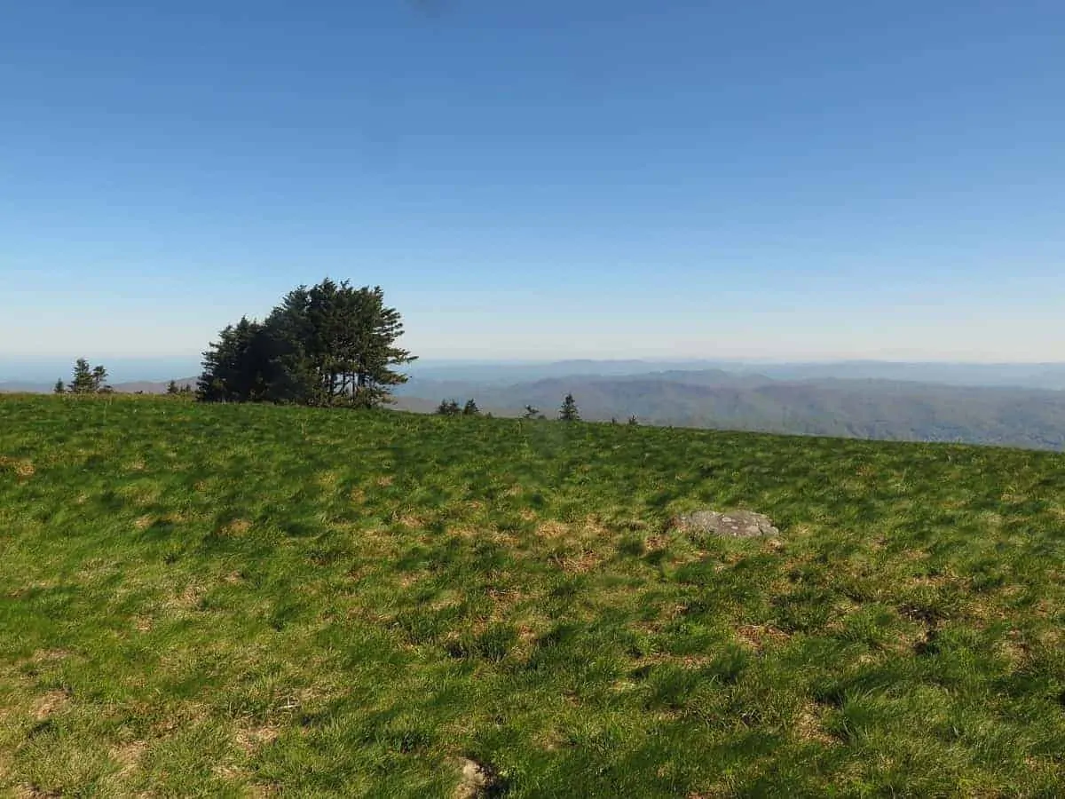
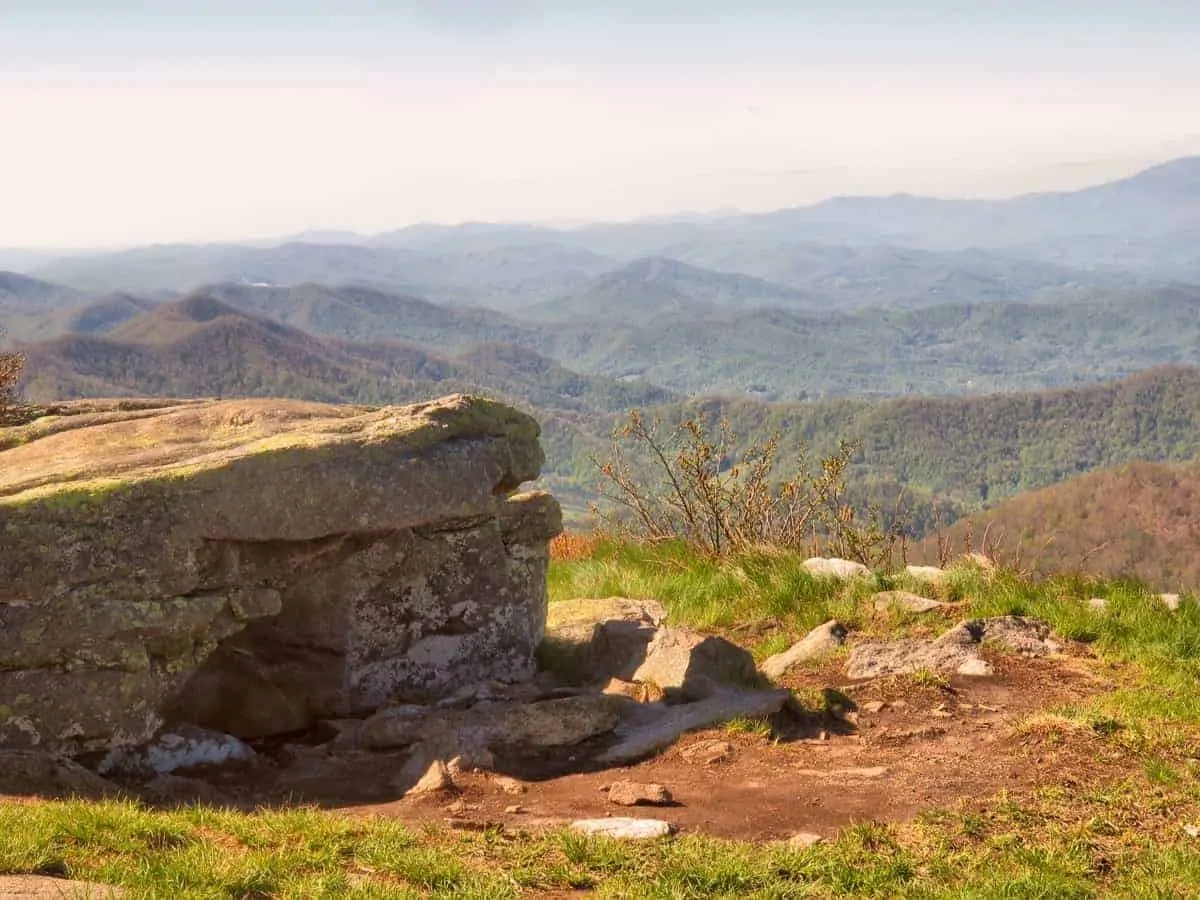
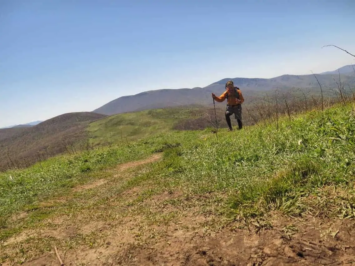
Then the trail got real interesting. I climbed from Carvers Gap into a strong cold wind that has me wishing for more clothing or the ability to run with my backpack to generate more body heat. I was suffering. There was little tree comer to shelter the wind. The lack of tree cover allowed for a view in any direction of a hundred miles.
For the next several hours I enjoyed the scenery. Some people hike this trail for the social side of the trail, I hike it for days like today. If it were not so cold I would have lingered longer in this area. I did find one place on the leeward side of a mountain to sit and stare into the distance. I counted the Cell Towers and tried to look at every distant mountain hut or house that was visible. Photos and video could not do justice to this place.
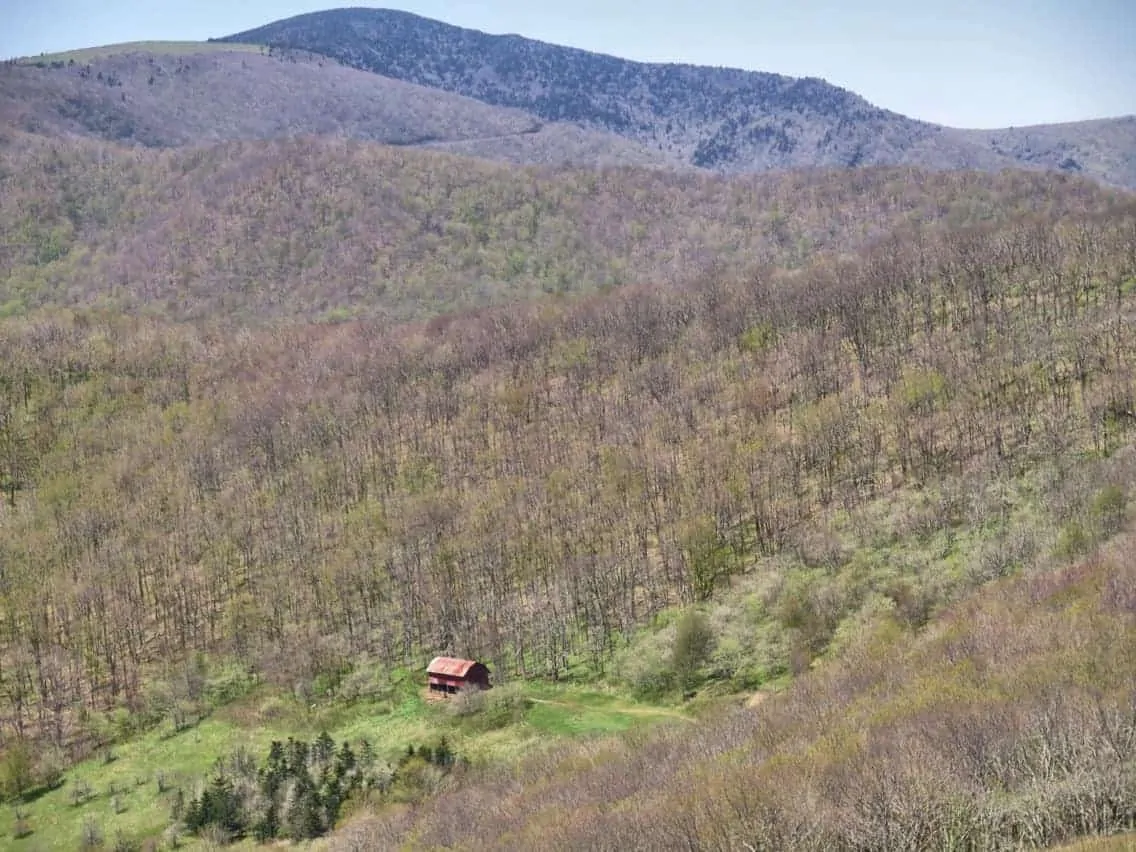
I took a small detour of the trail to a place called OverMountaun Shelter, more commonly known as The Red Barn. It’s a shelter that hikers can sleep in, complete with mice, which was the first thing I noticed when I entered. But this place has history. Battles between the British and Americans took place in this area and the Brits lost. Had that not happened all Australians could have been speaking French instead of English. The Brits has to send their criminals somewhere. I was also used as a hideout by well known outlaws like Jesse James back in the day.
Later in the day when I descended from the cold, exposed mountains it warmed up. I hit one of the highways that had a hostel nearby. It was around 5pm but I didn’t plan to stay there, I heard there burgers were amazing. So I went there for dinner. I didn’t recognise any of the other hikers there, all new faces. As I only stayed for the burger then left to find a campsite it’s unlikely I’ll see too many of them again. It’s getting lonely in the trail. I’ve seen one other hiker consistently over the last week, called Shogun we camped together last night and again tonight. As he aims to finish this trail in under 100 days I suspect he will be well ahead of me very soon.


Have you seen my YouTube Channel?
Check it out and subscribe. Then watch Day 23 to Day 27
Next : Day 24 – Waterfall and Gorges
Hi Brad, how are tracking mileage so accurately? Do you use a GPS or iPhone app? What brand battery power pack to keep iPhone charged? Thoughts on solar battery packs?
My mileage is tracked through the gps app for the trail called GutHook. I know exactly what mike I’m at. If you search for my AT gear list you will see I was using at spare USB battery. It was crap so I replaced it with an Anker spare USB battery